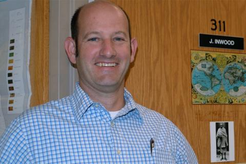
During the civil rights movement, activist groups such as the Student Nonviolent Coordinating Committee (SNCC) used geography and geospatial intelligence to identify protest sites and to plan civil rights protests. A new $373,000 National Science Foundation grant is letting researchers dig into those geospatial tactics to see what can be learned about patterns of racial inequality and how the SNCC collected and leveraged geospatial intelligence data to bolster its activist efforts.
Read the Full News Story

